Old Maps showing Newgrange & Knowth
These maps were produced in 1837, Newgrange and Knowth are both referred to as Moats.In a later hand written alteration Newgrange is referred to as a Tumulus.
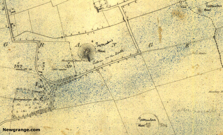
Newgrange showing the internal passage and chamber on a map dated 1837
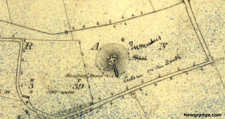
Close up of Newgrange showing the Standing Stones on a map dated 1837
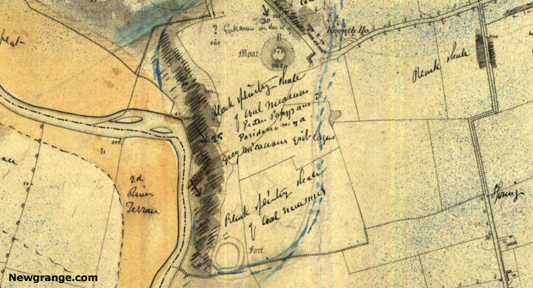
Knowth Mound referred to as a Moat (top of map), date of map 1837
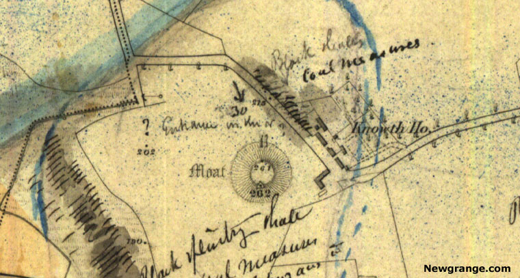
Close up of Knowth with a hand written note showing one entrance, date of map 1837.
Boyne Valley Private Day Tour
Home
| Visitor Centre
| Tours
| Winter Solstice
| Solstice Lottery
| Images
| Local Area
| News
| Knowth
| Dowth
| Articles
| Art
| Books
| Directions
| Accommodation
| Contact